A Slower Circuit through Utah’s Desert Parks
Utah’s desert parks invite grand plans. Their names look satisfyingly close together on a map, and photographs can make every viewpoint seem essential.
A journey with room to notice
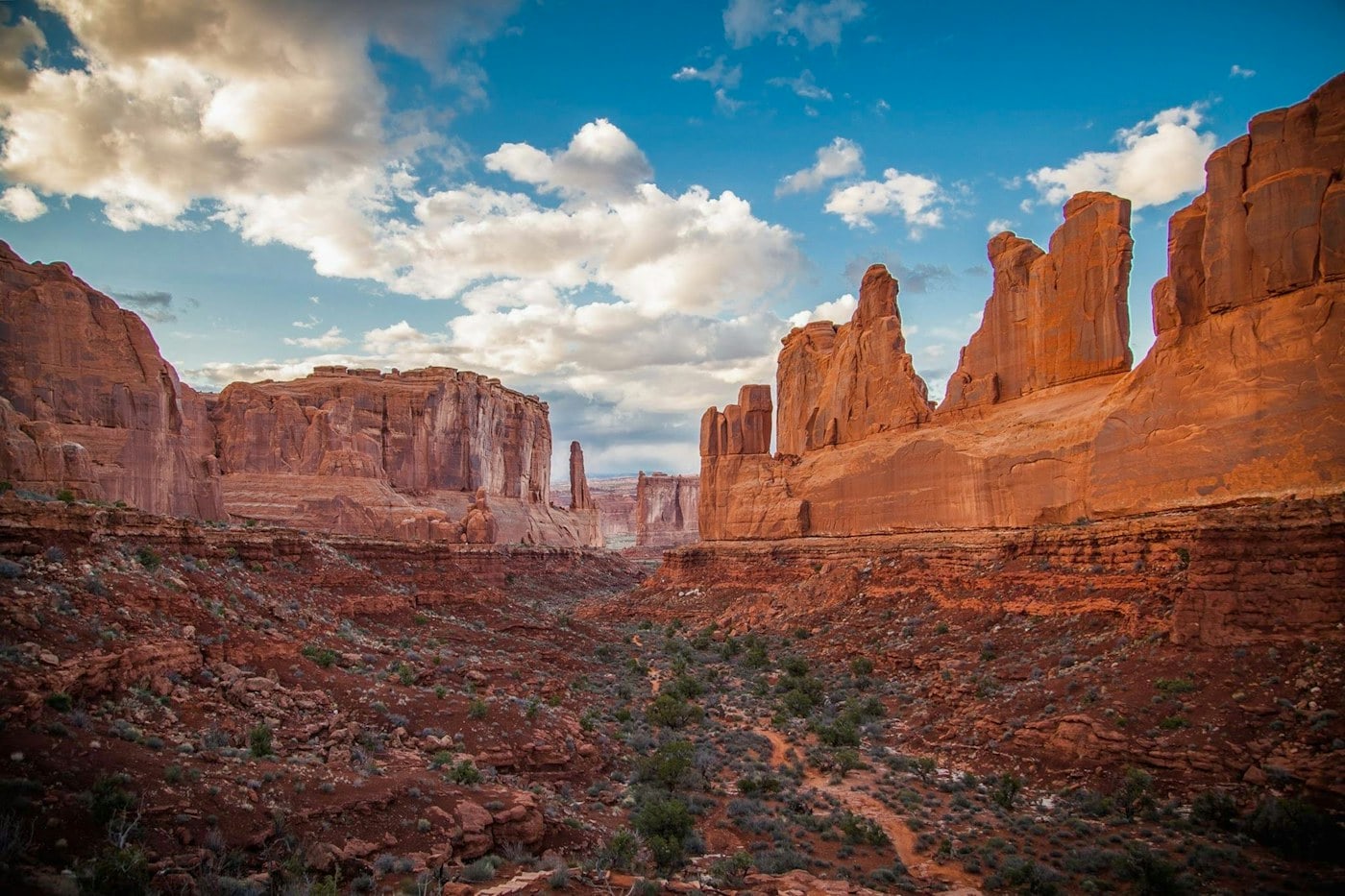
Utah’s desert parks invite grand plans. Their names look satisfyingly close together on a map, and photographs can make every viewpoint seem essential. On the ground, the distances, changes in elevation, and simple effort of walking in exposed country make selectivity valuable. A thoughtful journey chooses a few landscapes and spends enough time with each to understand why they differ, rather than racing between the most recognizable formations.
Understand that the parks are different
Zion’s canyon walls, Bryce Canyon’s amphitheaters, Capitol Reef’s folds, and the arches and mesas around Moab belong to distinct landscapes. Do not use a single park as a substitute for understanding the others. Decide whether your interest is walking within a canyon, looking across eroded rock, or following a road through broad desert country. That choice gives the trip a useful center.
Choose a central question for the circuit. Do you want several moderate walks, a largely road-based introduction to geology, or time in a particular park? The answer helps determine what to omit. Zion and the Moab area can both justify extended stays, while a route that touches each only briefly risks spending its best hours in the car. Mark the overnight locations before adding viewpoints. If the resulting sequence feels rushed without any walking at all, it is already too ambitious.
Let Zion set a measured pace
Zion Canyon can feel intimate despite its tall walls because roads and paths bring visitors close to the rock. Consult the park’s current access, shuttle, and reservation information before selecting walks. A suitable riverside route can be a complete outing. Do not assume that a famous exposed or water-based route is appropriate just because it is prominently featured in photographs.
In Zion, access logistics can determine the day more strongly than the length of a path. Read the National Park Service information for the exact outing and distinguish general park entry from any route-specific arrangements. Do not improvise a substitute in unfamiliar terrain because the first choice is unavailable. An officially described lower-effort route, an interpretive stop, and time to observe the canyon walls can form an excellent day. The goal is to understand this canyon, not to demonstrate that you chose its most demanding option.
Give Bryce Canyon time at the rim
Bryce Canyon is especially rewarding when the shape of its amphitheaters becomes clear from more than one viewpoint. Walking a manageable stretch of the rim can provide that continuity without committing to a descent. Trails into the formations require a separate assessment of conditions and the climb back out. Higher elevation also makes the experience different from a low desert stop.
At Bryce, notice how the view changes as you move along the rim. Formations that seem compressed into one wall separate into ridges and openings from a new angle. This is a reason to walk a continuous permitted section rather than drive between every viewpoint. If considering a descent, remember that the walk finishes with the return climb. Consult current trail and weather information, and give the route enough time that you can stop to look instead of concentrating only on reaching the bottom.
Look carefully at Capitol Reef
Capitol Reef is easy to underestimate if it becomes only the road between more famous destinations. The Waterpocket Fold gives the park its large geological structure, while the Fruita area introduces cultivated land and human history. Separate a scenic drive from a walking plan so that stops do not become rushed improvisations. Check which roads suit your vehicle and the conditions at the time.
Fruita introduces a human scale within Capitol Reef’s larger geological story. Use official interpretation to connect buildings, orchards, and the surrounding rock rather than treating them as unrelated stops. Follow any current rules for visitor access and seasonal activities. The park’s roads vary in character, so a scenic line on a map should not be assumed suitable for an ordinary rental car. Ask the right question before leaving: not whether a place is attractive, but whether the intended approach is appropriate today.
Use Moab as a base with choices
Moab gives access to Arches and Canyonlands, but the two parks ask for different kinds of attention. Arches rewards close observation of specific formations; the Island in the Sky district of Canyonlands emphasizes expansive views over a deeply cut landscape. Plan each day around one of those experiences. Verify current entry arrangements and avoid assuming that a late arrival guarantees easier access.
A Moab stay can alternate an expansive-view day with a closer formation-focused day. This variety is more useful than repeating the same style of outing simply because the parks share a base. In Arches, choose a manageable set of officially described stops and walks. In Canyonlands, identify the district you intend to visit rather than treating the park as one compact place. The names alone do not communicate the travel involved, and different districts should not be casually combined in a single brief outing.
Build the day around exposure
Desert walking involves stretches without reliable shade, and the season changes what is reasonable. Check official conditions and warnings before heading out, carry what the route requires, and choose a shorter alternative if the day does not fit the plan. Narrow canyons need specific attention to weather and flood information. A turnaround decision is part of sound travel, not a failed itinerary.
The practical plan should include what happens if the first route is unsuitable. Identify an easier official outing, a shaded or indoor interpretive option where available, or a rest day near the base. Check conditions again close to departure, because a plan made months earlier cannot account for the actual day. Avoid interpreting the presence of a crowd as evidence that a route is suitable for your group. Everyone’s experience, equipment, and ability to turn around can be different.
Respect the ground between the landmarks
Desert soils and vegetation can be fragile even when the surface looks bare. Stay on established trails and designated durable surfaces, follow local signs, and never carve or mark rock. Archaeological sites deserve particular care: observe without touching, entering closed areas, or moving objects. The point of a park visit is to encounter a place that retains its character after visitors leave.
A marked boundary can protect a feature that is not obvious from where you stand. Desert soil, archaeological materials, and vegetation do not need to look dramatic to be vulnerable. Use a zoom or change your composition from the permitted route rather than stepping beyond it. If a viewpoint is busy, wait in an appropriate place or choose another established stop. Respect is easiest when the itinerary has enough margin that a few minutes of patience do not feel like a threat to the entire day.
Choose fewer overnight moves
A circuit works best when its overnight stops support the actual walks. Staying an extra night can allow a quiet morning, a better recovery period, and an alternative when conditions change. Keep long transfers separate from demanding hikes where possible. The final memory should contain the color of a canyon wall and the depth of a view, not only the pressure to reach the next accommodation.
Try reading the finished itinerary as a sequence of efforts: transfer, walk, transfer, walk, rest. A route containing only effort needs adjustment even if all its individual distances look manageable. Put laundry, food shopping, and quiet time into real gaps instead of assuming they happen invisibly. An extra night in the right base can solve several problems at once. It can also provide the opportunity to revisit a view under different light, which often teaches more than adding a new landmark.
An itinerary that distinguishes the landscapes
One way to improve a Utah circuit is to give each chosen base a different purpose. A Zion stay can focus on the close scale of the canyon. Bryce can provide time along the rim and, if suitable, a carefully chosen descent. Capitol Reef can connect a scenic road with interpretation around Fruita. A Moab stay can contrast a formation-focused Arches day with an expansive-view Canyonlands day. The route does not have to include all of these, and omitting one may be the decision that gives the others enough room.
Place the longer transfers where they do not immediately follow the most demanding walks. Leave space for food shopping, laundry, and an occasional day with less exposure. Check the National Park Service information for each park close to the visit, including entry procedures, route-specific arrangements, road conditions, and closures. A reservation for accommodation does not resolve the rest of the access plan. Keep those separate in the notes so that a change affecting one element does not create confusion about the whole journey.
The most useful souvenir may be a small set of observations about how the parks differ. At Zion, you may remember looking upward from within the canyon; at Bryce, looking across the amphitheater; at Capitol Reef, seeing a structural line continue through the landscape; near Moab, noticing the relationship between a close formation and a distant horizon. These distinctions emerge more readily when the days contain time to look. A successful circuit leaves the landscapes separate in the mind rather than merging them into one long sequence of red rock.
Do not treat the separate Canyonlands districts as viewpoints along one continuous park road. Choose the district that fits the day and check its particular access information. This distinction is useful when staying around Moab, where the familiar park name can conceal very different approaches. A district-specific plan is clearer than a vague intention to spend an afternoon somewhere in Canyonlands.