Madeira’s Levada Walks: Water Channels, Forest, and Careful Choices
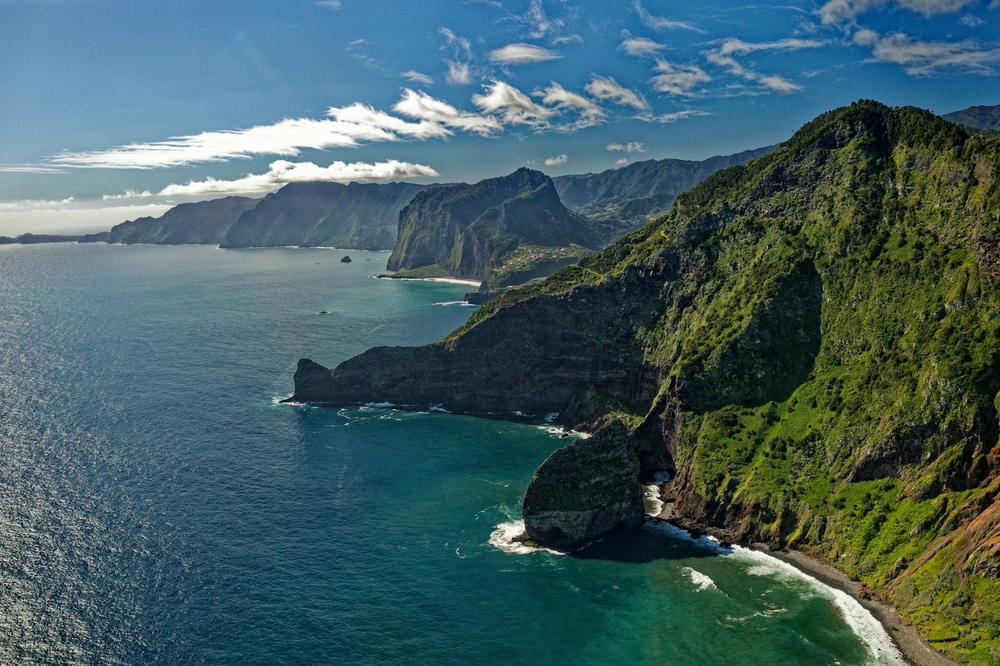
Madeira’s levadas reveal a landscape shaped by the movement of water. Channels run beside paths through cultivated slopes and forest, sometimes opening to wide views and sometimes narrowing beneath trees.
A different way to arrive
Madeira’s levadas reveal a landscape shaped by the movement of water. Channels run beside paths through cultivated slopes and forest, sometimes opening to wide views and sometimes narrowing beneath trees. Their gentle appearance can be misleading: a path may have exposure, tunnels, slippery surfaces, or a difficult return. The best introduction is a carefully chosen route with current official information, enough time, and a willingness to change plans when conditions do not fit.
Learn what the word levada leaves out
A levada is an irrigation channel, not a promise of an easy walking route. Paths alongside different channels vary greatly in width, condition, access, and exposure. An image of a level path may show only one small part of a much more demanding walk. Read the complete official route description and distinguish the channel from the public walking route. Do not assume an unmarked maintenance path is a visitor trail.
Choose a formally described walk that matches the group’s comfort with heights, surfaces, and any tunnels rather than selecting by distance alone.
Check the route’s current status
Madeira’s walking routes can close or change after weather events, maintenance, or other local conditions. Consult the responsible official source close to the planned day and follow barriers and signs on the ground. A route described in an older guide may not be open. An alternative walk should be chosen before leaving your base, especially when the trailhead requires a long transfer. Never bypass a closure because another walker does so.
Keep both the main route and the fallback on your map, and confirm any current reservation, access, or visitor requirement through official information.
Take exposure seriously
Some levada paths run beside steep drops or narrow ledges. A route can feel manageable for one person and deeply uncomfortable for another. Discuss this honestly before departure. Where a trail’s protection or width is unclear, seek qualified local advice or choose a less exposed alternative. Passing other walkers on a narrow path requires patience and a suitable place to stand. The correct response to discomfort may be to turn back, not to press on.
Do not use a terrace photograph to judge exposure, and avoid routes whose terrain demands experience or equipment the group does not have.
Prepare for tunnels only when the route suits you
Some routes include tunnels that may be dark, wet, low, or uneven. These features should be understood in advance, including the equipment and conditions recommended by the official route description. A phone screen is not a good substitute for appropriate lighting. People who are uncomfortable in enclosed spaces should choose another walk. Tunnels are not an essential part of experiencing Madeira’s water channels and forest.
Check the route details carefully and select an alternative without tunnels when that makes the outing more comfortable or practical.
Let the forest set the pace
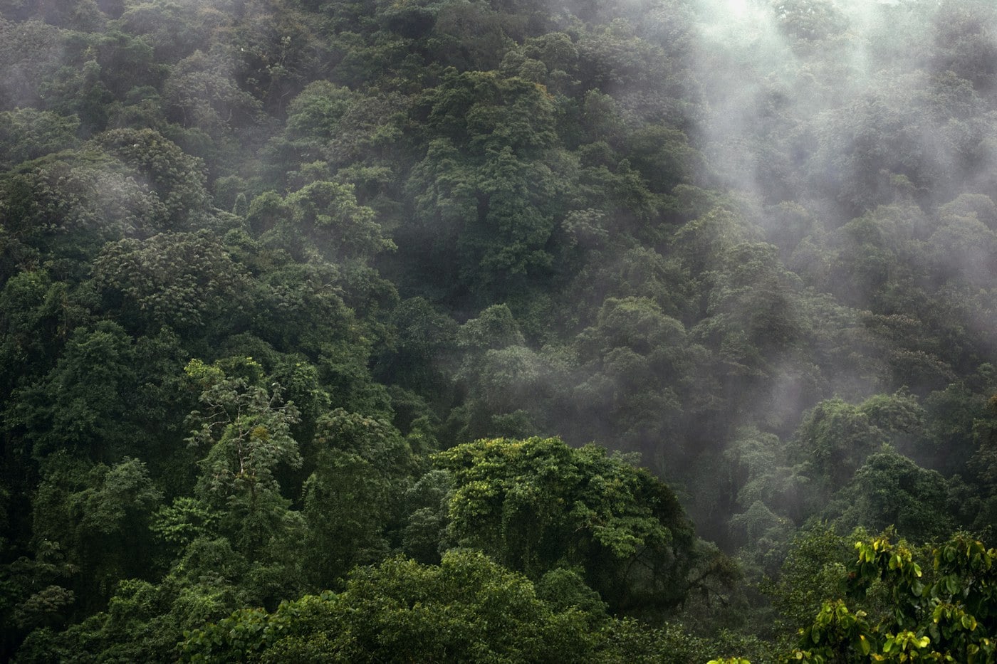
In Madeira’s laurel forest landscapes, much of the interest is close at hand: moss, filtered light, water movement, and the structure of trees. Walk slowly enough to notice these details without leaving the path. Damp surfaces can require more attention than the modest gradient suggests. Weather can reduce distant views while making the forest visually rich, but that does not remove the need to assess route safety. A shorter forest section can be a complete experience.
Keep stops to places where others can pass and avoid stepping onto fragile vegetation to find a photographic angle.
Plan the transfer and the return together
Some walks are linear, while others return to the same trailhead. Understand which arrangement applies before booking transport or driving. Roads to trailheads can be winding, and parking may be limited or regulated. Check current local arrangements and leave time for the journey itself. A return pickup should not create pressure to hurry along a wet or narrow path. If a route depends on a transfer, verify the details directly.
Write down the actual trailhead names and meeting point, and keep an agreed fallback if the walk is shortened or canceled.
Carry what the chosen walk requires
Appropriate footwear, layers, weather protection, water, food, navigation, and any route-specific equipment should be selected for the actual conditions. A level channel-side path can still be cool, damp, and remote from services. Carry enough supplies for the planned walk rather than assuming a café will be present. Keep essential items protected from rain and ensure the group understands the route. A guided option can be useful when local knowledge and route selection are needed.
Reduce unnecessary luggage while retaining essential walking equipment, and check recommendations from the responsible official route source before setting out.
Return with attention still available
The walk’s second half deserves the same care as its first. Familiar scenery can encourage distraction, especially when tired or thinking about transport. Keep your eyes on the surface while moving and stop in an appropriate place to enjoy the view. If conditions worsen, use the conservative option rather than attempting an extra section. Madeira offers many ways to appreciate its landscape; no single levada is a test that must be completed.
Leave a generous time margin, and let a shorter comfortable outing count as a successful introduction to the island’s walking landscape.
Ribeiro Frio and Rabaçal are different planning choices
Ribeiro Frio is a useful area to research when the main interest is Madeira’s forest landscape. The surrounding Laurissilva setting can shift attention from dramatic distance to the layers of vegetation and moisture close to the path. A route associated with this area still needs to be selected by its official description and current status. Do not assume that every walk beginning near the same place shares the same exposure or surface. A viewpoint may be the destination of one route, while another continues much farther. Match the route code and name carefully to the plan you have actually chosen.
Rabaçal is associated with well-known water-channel and waterfall walks, including the areas commonly described through Risco and 25 Fontes. Their popularity should not replace a careful comparison of route features, access, and current visitor requirements. Shared approaches can create busy sections, and the full outing may include more ascent or descent than the channel-side portion suggests. Consult the responsible official source for the complete route, not just the most photogenic segment. If conditions or closures make the planned walk unsuitable, choose a confirmed alternative rather than improvising along an unfamiliar maintenance path.
These settings illustrate two ways of appreciating the island: a forest-focused walk and a route organized around water features. Neither needs to be turned into a checklist completed in one day. Madeira’s roads and trailhead arrangements also consume time, so a single carefully chosen outing with a relaxed transfer can be enough. On the path, look at how the levada follows the terrain and how the surrounding vegetation changes with light and exposure. The channel is working landscape infrastructure as well as a scenic feature. Keep hands and belongings away from the water system and follow all signs. If a view is obscured by mist, the walk may still offer a rich forest experience, provided the conditions remain suitable. The best route is the one whose entire sequence—arrival, walking, rest, and return—fits the group comfortably.
The official route code is particularly useful when several Madeira walks share a place name or an approach. Record both the code and the full route name, then compare them with the current notice at the start. A description of one variation may not apply to another, even if both mention Rabaçal or Ribeiro Frio. Check whether the listed distance is one way or for the complete return. That distinction changes the time, supplies, and transfer plan. Careful reading before departure is a small investment compared with discovering halfway through that the assumed return was never part of the route being followed.
Choose the experience you can enjoy all the way through
When comparing levada walks, write down the features that matter to the group before looking at photographs. These might include a broad path, limited exposure, no tunnels, a manageable return, or straightforward transport. Then compare official route descriptions against those needs. A shorter route that meets them is a better choice than a famous walk that creates anxiety from the first narrow section. Be specific when seeking local advice: ask about the surface, exposure, closures, and required equipment rather than whether the walk is simply easy. That word can mean very different things to different people.
At the trailhead, take a final moment to compare the current signs with the plan. Confirm the route name, the direction, the expected return arrangement, and any notices. The presence of other walkers does not settle whether the route is appropriate or open. Along the path, pause in places where others can pass and discuss any discomfort early. It is easier to turn back at a suitable point than to wait until a member of the group feels unable to continue. A calm decision to shorten the route can preserve both the outing and everyone’s confidence.
Afterward, give the day a gentle second half. A meal near the base, a short permitted town walk, or simply time to dry equipment can be enough. There is no need to compensate for a shortened walk with another demanding activity. Madeira’s landscape can be appreciated from many settings, and a carefully chosen levada section provides its own perspective on the movement of water and the structure of forest. Record the route and the features you enjoyed so that the next outing can be selected more intelligently. The useful memory is not only the view; it is understanding what kind of walking suits the group in this particular landscape.